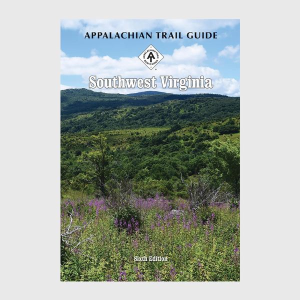
Appalachian Trail Guide to Southwest VA
$32.00
Buy and save
Buy and earn $0.64 Loyalty for your next purchase
Loyalty is a discount program that lets you buy products and earn points to redeem on your next purchase. Your Loyalty balance is updated when you pay online or in-store. The Loyalty amount shown on this page can be recalculated at the checkout.
In stock: 4 available
Save this product for later
Appalachian Trail Guide to Southwest VA
Product Details
Appalachian Trail Guide to Southwest Virginia Book and Maps Set Includes: AT Guide Southwest Virginia and AT Official Map Southwest Virginia Maps 1-4.
The Southwest Virginia edition covers 170.5 miles from Pearisburg on the New River to the Tennessee state line south of Damascus, primarily through the George Washington-Jefferson National Forests and including the Mount Rodgers Recreational Area in one guidebook and four maps on two sheets.
The pocket-sized planning guide contains background and interpretive information, points of interest, general advice, shelters, water sources, and road crossings.
The omnidirectional format allows you to see where you are whether southbound or northbound.
Each map is focused on the Appalachian Trail and overlaps with the neighboring maps.
Powered by Lightspeed
Display prices in:USD